F. Gilbert Hills State Forest (Foxboro MA) is full of interesting stone features that span its history. The CCC was active here in the 1930s, and you’ll see their handiwork in water holes, roads, and trails, and there are two granite quarries, both established around 1885 and worked well into the early 20th century.
The quarry is off of Megley Trail, about half a mile up Megley Trail from the Thurston Street lot. You can also pick up Megley from High Rock Road, off of Rte 1. From that direction it’ll be on your right, about a mile down the trail.
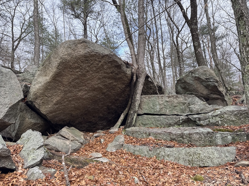
The advantage to coming at it from the Thurston Street side is that you first see this massive ganging wall of granite hulking in the woods:
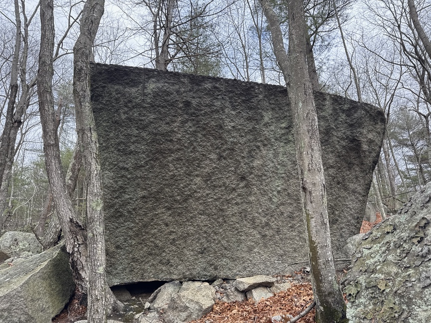
Most of the granite quarried here was used locally. It isn’t the prettiest stone, so it ended up in curbs, posts, and other utilitarian items. There would have been a ‘shed’ nearby where the stone was dressed, but I haven’t found its location yet. It can’t be far, there’s a reference in an 1880s newspaper of an accident at the shed that involved a crane moving a large stone, so the shed is somewhere in the radius of a small crane.
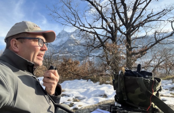
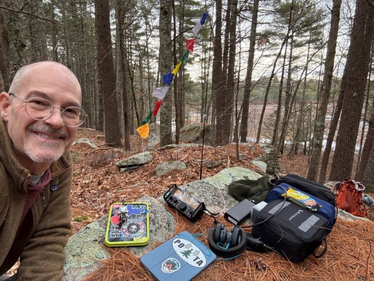
I was here without radios, scouting a new spot to activate from. I like to find interesting spots to sit, and I like quarries, so this place seemed like a good fit. I’ll head back soon and sit on these steps, with the vertical up on the rock above me.
It gets more interesting…
The original inhabitants of the land also worked stone, likely for several hundred years here and possibly longer. They left a scattering of stone artifacts in the hills that we honestly don’t know the purpose of. The best we can do is guess.
I spent some time bushwhacking through the huckleberry off trail in the area of the quarry looking for traces of those early inhabitants. I’m in here a lot — the park is just a few miles from my house — and I have been fascinated by it and have hiked it for many years, so I’ve seen a few of the published stone features, including two standing stones.
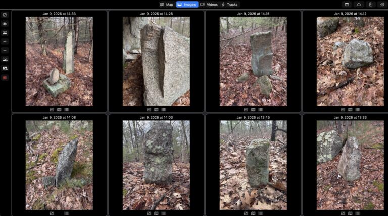
I was surprised and delighted when, after visiting the quarry and wandering north, I ran into a standing stone marker that I didn’t recognize. And then another. And another. I went back to the first and sighted along it to the second. True east.
In all I found seven standing stones on a true east-west line. Most are shaped in a way that gives them a long axis, and the axis points east-west, which means that if you encounter any one of these stones you can immediately sight a distant feature along it and hike east, probably to the next marker.
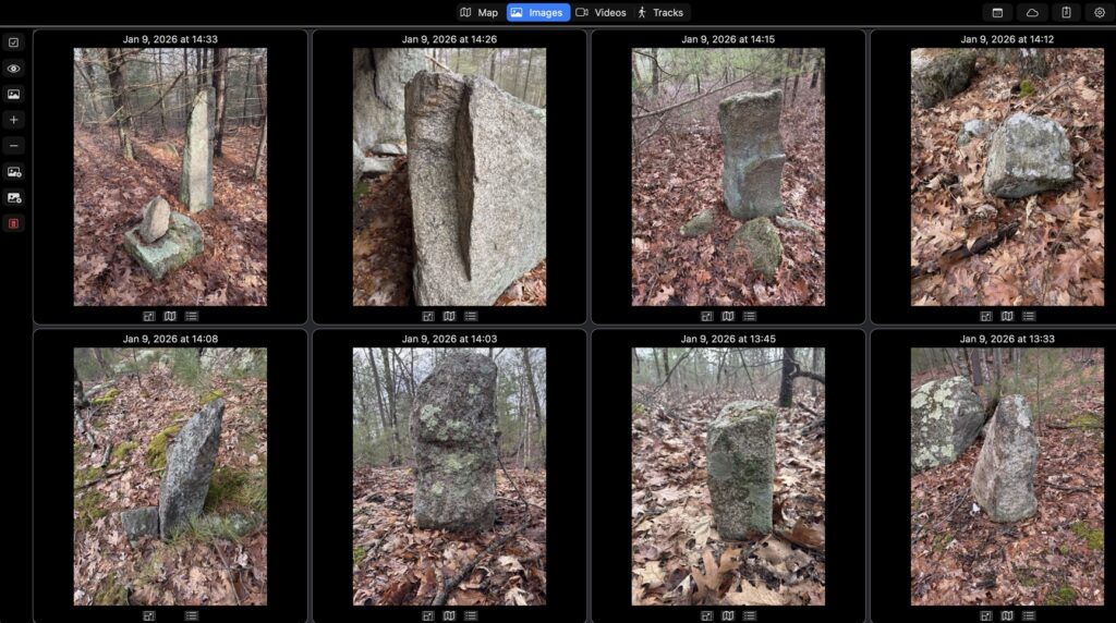
I also believe that I spotted the boulder that one of the stones was extracted from — you can see at the top where a crude chisel was used to open up and then pry off a section of stone (top row, second from left).
These are part of a large landscape that includes notched north-south aligned boulders, a rock shelter with a water feature overlooking a marshy pond, prayer seats, and a large, table-like flat stone propped on smaller feet called The Dolmen. Many stone features in the park have been documented in the past by the New England Antiquities Research Association.
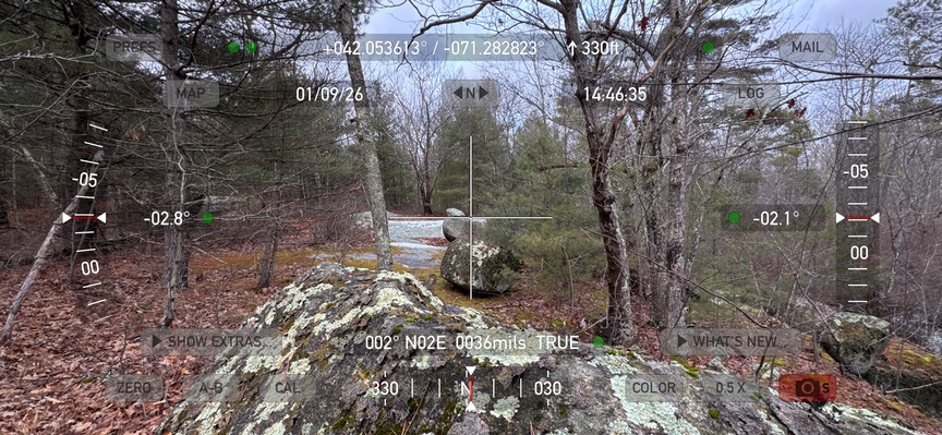
There’s a standing stone directly across from The Dolmen and the rock shelter, and it is different from the other six. My working hypothesis is that the east-west line of standing markers was a ‘catch line’. If you were entering this area from the north or south, you’d run into this line of markers, and each one points east-west, leading you to the different marker across from the shelter.
I can see someone encountering a marker, sighting along its long edge at the top to spot a prominent rock or outcrop, and hiking to that spot, where they’d encounter another marker. At Gilbert they are close, but I could see that working over long distances, and it’s an efficient way to mark the landscape.
On subsequent trips I’ll look to the south to see if another line of markers exists. to bracket the northern set. I also plan to walk the sight line for the equinoxes from the center the three north-south boulders in case they have an alignment.