The first thing to know about Douglas State Forest is that the coordinates stored in POTA’s database will drop you in the middle of a road with no obvious sign of a park anywhere. Keep going, in a mile or a bit further so you’ll see the turnoff to Cedar Street and Wallum Lake Road. The main entrance is off of Wallum Lake Road.
Parking is seemingly endless here. The main attraction is Wallum Lake, and in the summer it is a destination for families who enjoy camping, horseback riding, canoeing, and of course fishing. Motor boats are allowed on the lake and there are plenty of spots to park your trailer. Note that Wallum Lake forms a border with Rhode Island, and they have different rules around usage, but practically speaking no one is sitting on the line waiting for you to zip by, Dukes of Hazard style.
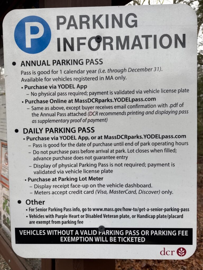
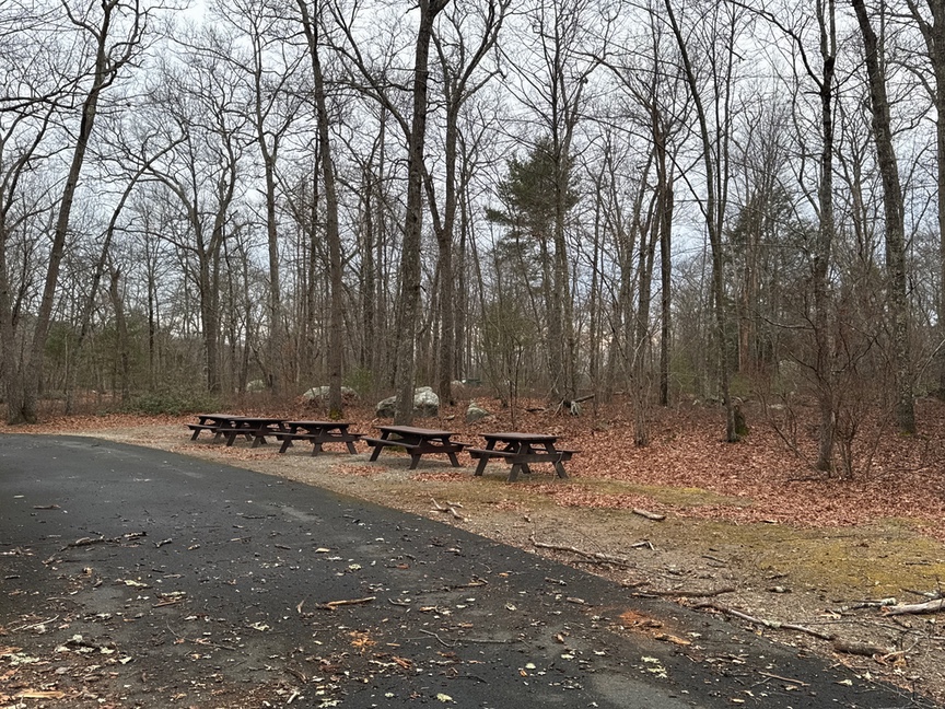
Since we’re thinking about parking, Massachusetts currently uses YODEL app for parking payments, though there usually is someone at the gate kiosk in case you don’t have the app. Something to keep in mind is that pre-paying for a spot doesn’t mean that there will actually be a spot when you get there. There’s plenty of overflow parking, though, so maybe only worry about that on peak summer weekends. Quite a few of the parking lots have picnic tables in the immediate area, and you’ll find a lot more scattered around the lake.
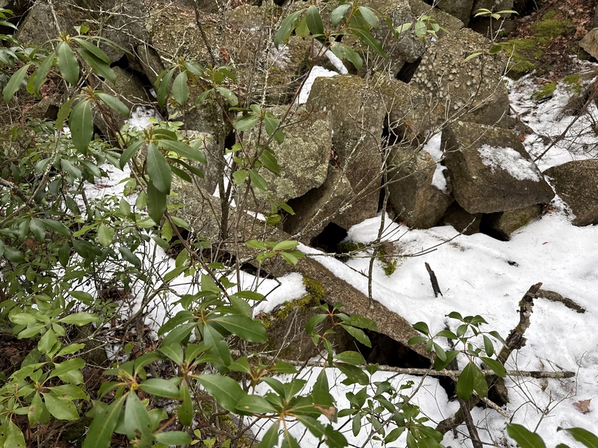
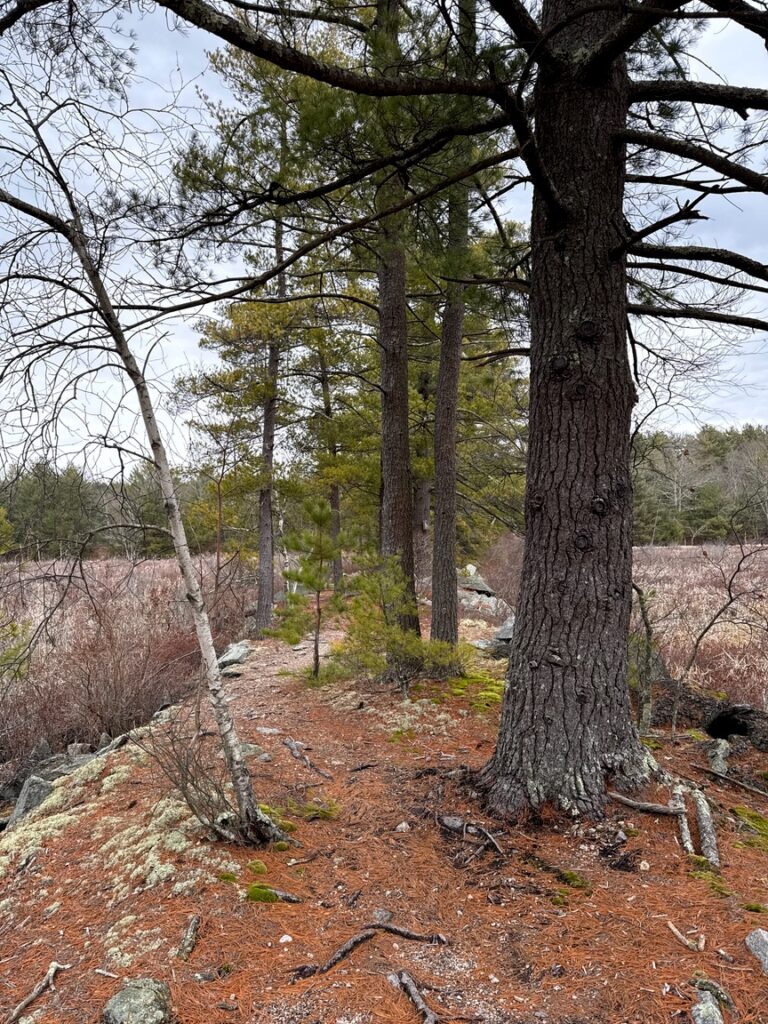
Douglas is really different than most of the parks I hike in. I typically look for a ridge hike with a little bit of challenge, or one that takes me into an area where I might encounter ancient stone structures. There’s nothing of that here. Instead we have about 5,000 acres that was assembled over time from farmsteads that were purchased, land grants, and reclassification of woodland timber resources. The evidence of occupation consists mainly of cellar holes, wells, stone fences, and, especially, what must be hundreds of tiny stone quarries, often just a single boulder.
The colonists who lived here, and the settlers after them, used stone and wood to build their homes and structures, and if they needed a new step or a post they’d just quarry one off of a nearby rock. The predominate material here is a reddish granite. Most of the time you’ll see some small boulder with a piece missing, but sometimes the entire rock was quarried and you’ll just see the depression where the stone sat.
Something I like to do when I run across a cellar hole or foundation, or steps, is to try to figure out which rock the material came from. At Douglas it isn’t hard, typically if you just spin around you’ll spot the nearby source. There are a few larger quarries scattered around, like the one below in which you can see a nearly finished post.
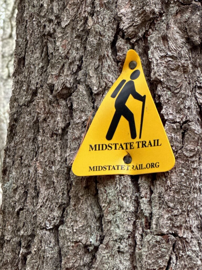
The primary trails through Douglas tend to be old logging and farm roads, and they are wide and flat. At least two rail trails run through the park, too, as does the Massachusetts Midstate Trail, which runs for 92 miles from the Rhode Island border north to the New Hampshire border. On my visit I took more of a walk than a hike, and never found a ridge to climb.
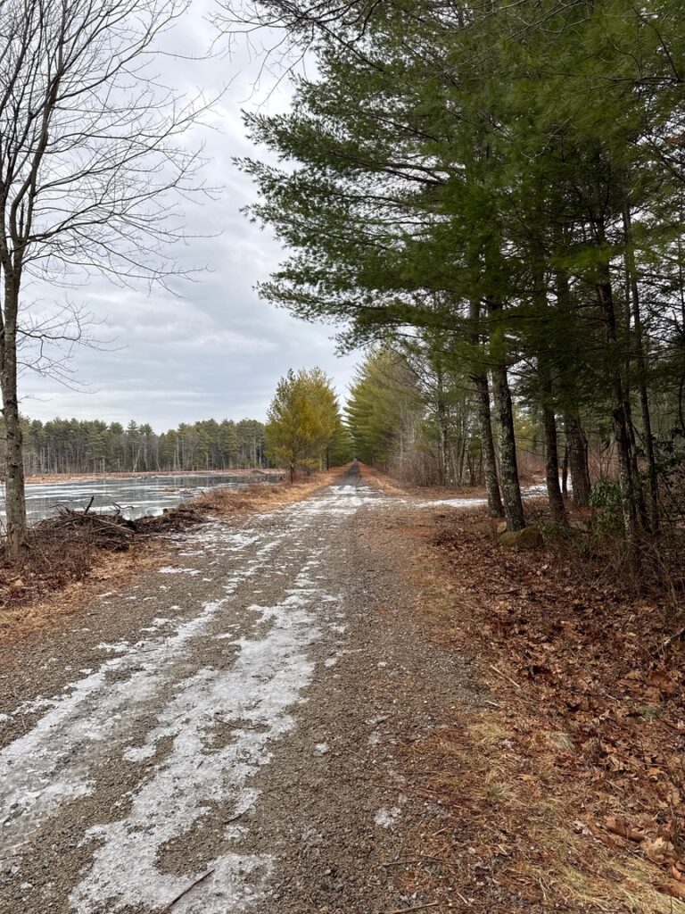
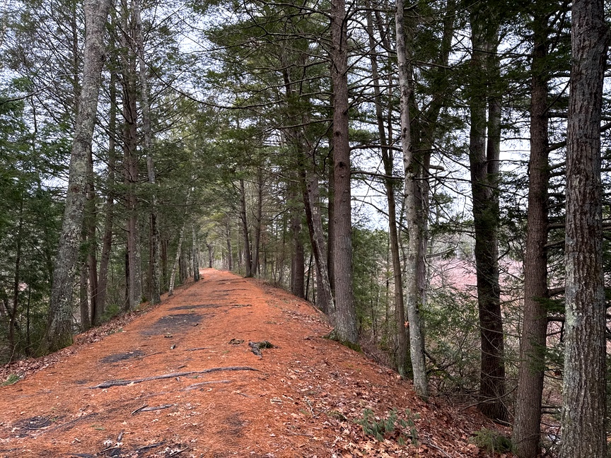
It was a 50ºF day in January, and the trails were damp but not wet, and still frozen enough to provide firm footing. In the spring a lot of these paths are going to be a mess, they are loose soil and gravel with not a lot of runoff in many spots.
A few miles in I ran across a great spot to do an activation from, it’s a spit of land that juts out into a swamp, water on both sides and a few comfy spots to sit down and operate from. I kept moving, but I made note of it for a future operation. I was carrying my 17′ whip and it would have had plenty of room. Look for a sign marking the cutoff labeled “Nature’s Overlook”.
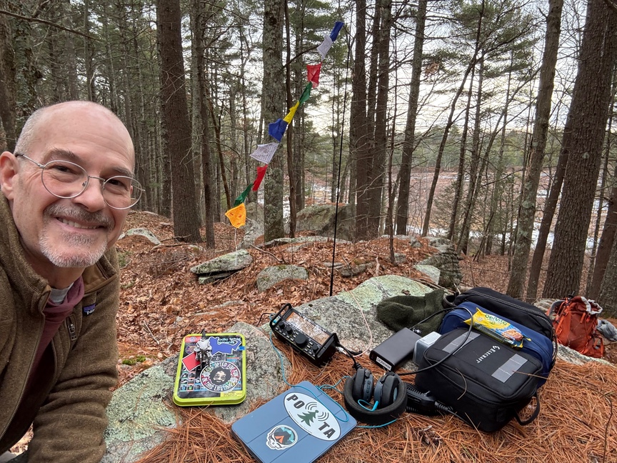
It was such a nice day that I kept walking, and eventually settled on a spot up on an outcrop overlooking a small pond. I had the KX2 with me and a 17′ whip. Setup was simple, and there wasn’t any wind, so I didn’t need to brace the vertical even with flags flying from the top. A big flat stone was a comfy table to work from, and I spotted and gave out the first CQ POTA.
This was such an easier activation than my last outing at US-4712 Upton State Forest (MA)! On Jaunuary 1st the new Pack Mule award went live, and Upton was my first Mule activation. It requires a half mile hike and 22 QSOs for a ‘complete’ activation (you can log fewer and go back later to get the rest). Half an hour in at Upton and I was at 8 contacts wondering why in the world I’d settled on 22 as the criteria! Things perked up but it still took over an hour to complete the activation.
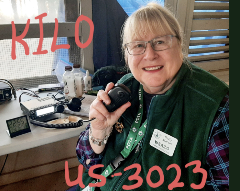
Douglas was a different story, it was one of those wonderful days when a little pileup forms and you can rattle off a dozen contacts in ten minutes. Conditions were great, and the sunny day had me relaxed and smiling. I pulled out the mic, which I so rarely have done in the past, and made several SSB Qs, including with Discord friend Jesse KA1VRY who was operating his school’s club station K9IU at Indiana University. Jesse is club president there this season as I recall.
One last thing to point out about Douglas State Forest. The trails are in use year-round by all sorts of people and animals. Snowmobiling and cross-country skiing are popular here, and there are quite a few stables nearby for horseback riding.
Douglas wasn’t a place full of interesting things to do and see, at least for someone like me who is always poking around looking for ancient civilizations. It’s just a nice walk on a clear, flat trail on a pretty day, and sometimes that’s all you are really looking for.